Bermúdez Arquitectos

Ciudad Salitre Master Plan

Bogotá, Colombia 1988-1997 | Urban plan for Ciudad Salitre in Bogotá | Area: 24.000 m2

CS_MP_USOS
CS_EP
CS_PM_PAISAJE
CS_MP
CS_MP_D
CS_EP1
CS_EP2
CS_EP4
CS_EP5
CS_EP6
CS_PARQUE_CULTURAL
CS_PLC_VBV
CS_PZ1
CS_P_OFICINAS
CS_P_VIVIENDA
CS_C_P1
CS_C_P2
CS_C_P3
CS_C_P4
CS_F_AVPARQNOROCC
CS_F_AVPARQNORORIEN
CS_F_AVPARQSUROCC
CS_F_OFICINAS
CS_F_VIVIENDA
CS_F_PARQUE_C
CS_F_PARQUE_JJV
CS_F_PLAZAC_VBV2
CS_F_PARQUE_SM
CS_F_PASEO_CR54
CS_F_PASEO_ES
CS_F_PISTA_TROTE
CS_FA_1979
CS_FA_1989
CS_FA_1992
CS_FA_1993
CS_FA_1996
CS_R_MAQUETA

Design: Daniel Bermudez, Fernando Jiménez, Willy Drews, Rafael Obregón

Design Team: Patricia Torres, Marcela Sanjinés, Luis Martinez, Philip Weiss, Jorge Rivera, Jhon Thorsberg, Camilo Santamaría, Jorge Díaz, Andrés Téllez, Andrés Calderón, Germán Moreno, Juan García, Claudia Sandoval, Iván Castro, Álvaro Mejía, Oswaldo Saavedra, Maribel Peña, Camilo Mojica, Gonzalo Vargas, Jeffrey Páez, Jairo Benítez, Javier Piamonte, Andres Ferroni.

Technical Drawing: Guiomar Osuna, María de Balcázar, Consuelo de Uribe, María Salas, Maurilia Gómez, Sandra Rodríguez, Adriana Pérez, William Velasco, Pedro Rodríguez, Fernando Vargas, Rocío Rodríguez, Nancy Rincón, Stella Roncancio, Clemencia Rincó.

Urban Planning Coordinators: Daniel Bermudez Samper, Álvaro Mejía Pavony, Gonzalo Vargas Ayala

Subcoordinators: Patricia Torres Arzayús, Germán Moreno Galindo.

Technical Consultants: P.I.V. INGENIERÍA LTDA(Juan José Franco), P & D INGENIEROS(Luis Enrique García), BATEMAN INGENIERÍA(Jaime Bateman).

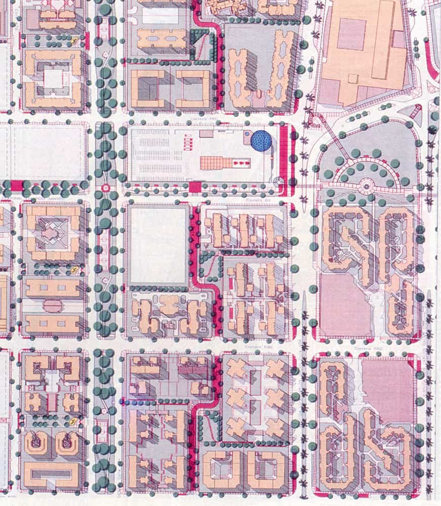
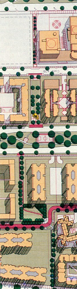
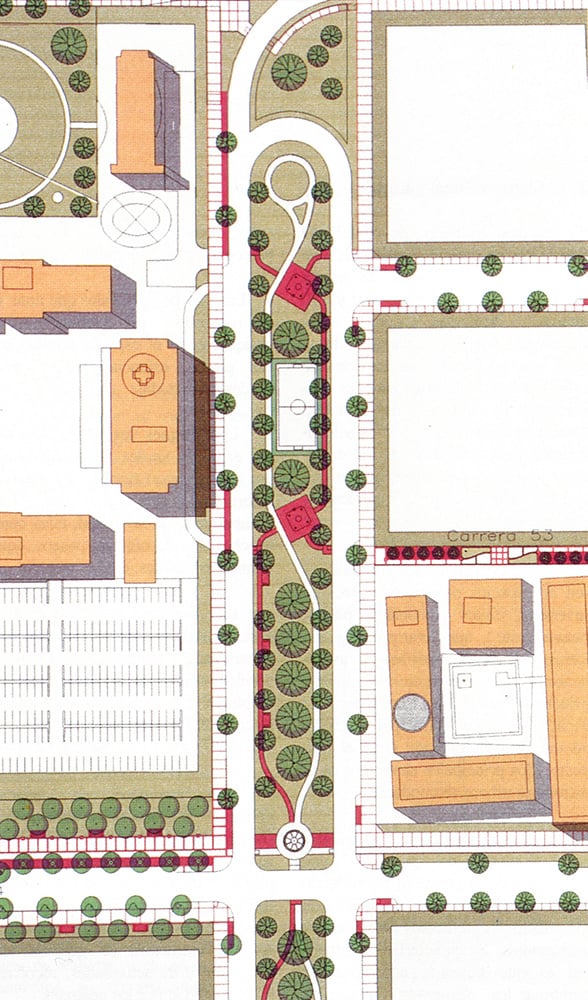
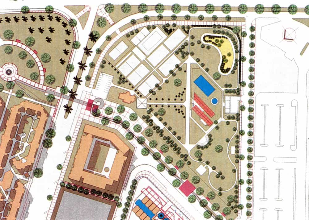
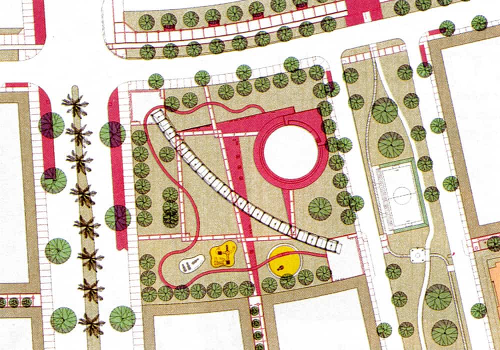
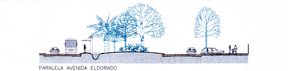
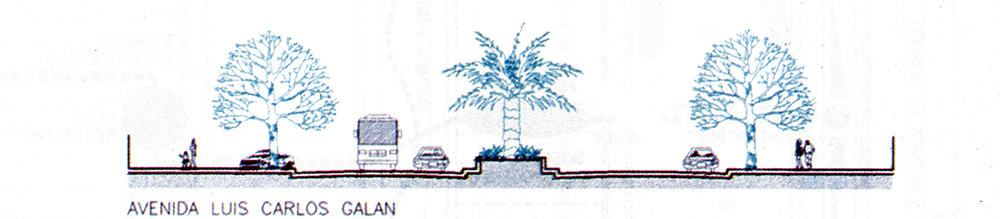
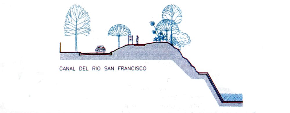
Landscape Design: GRUPO VERDE LTDA.(Martha Cecilia Fajardo, Vladimir Castelblanco Suárez).

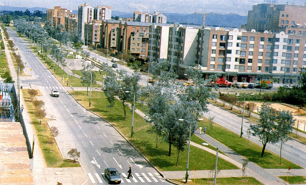
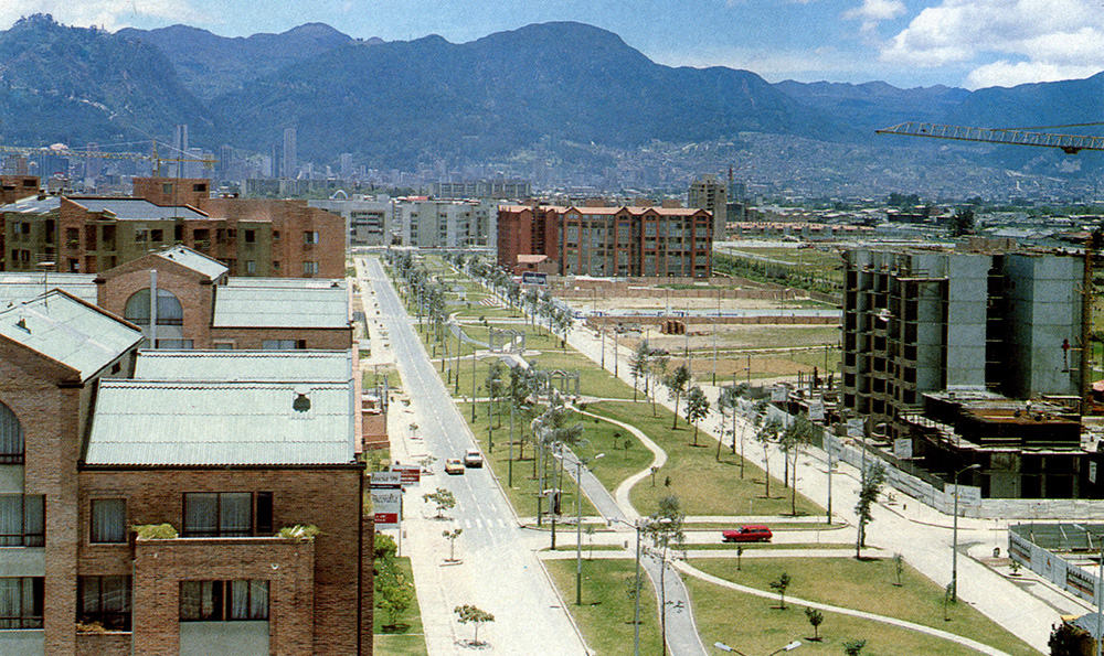
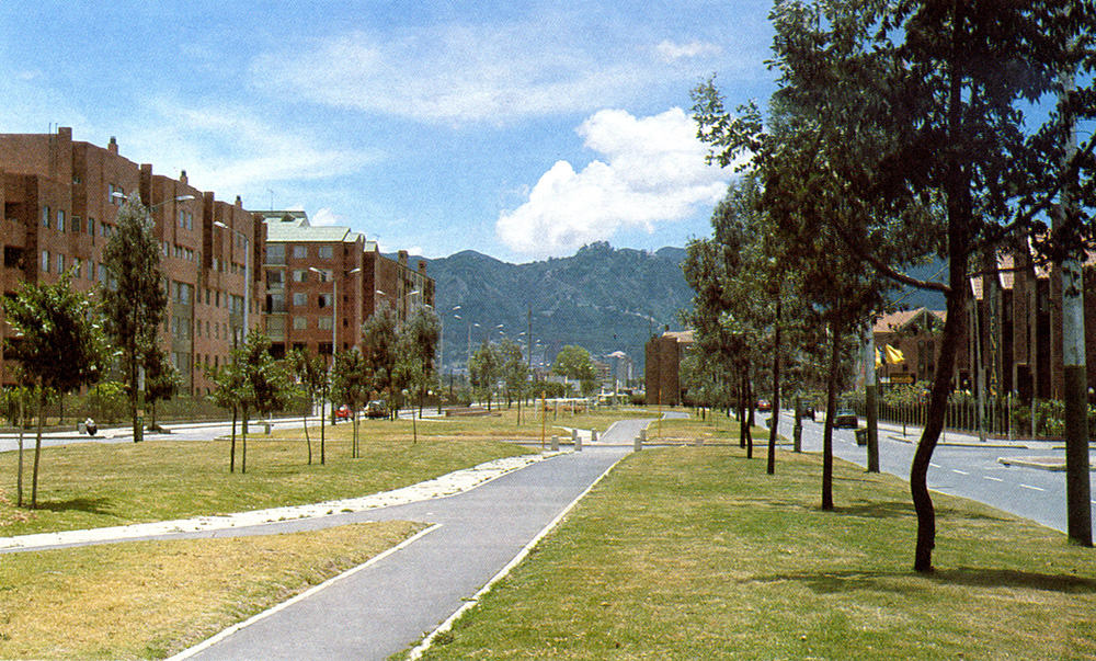
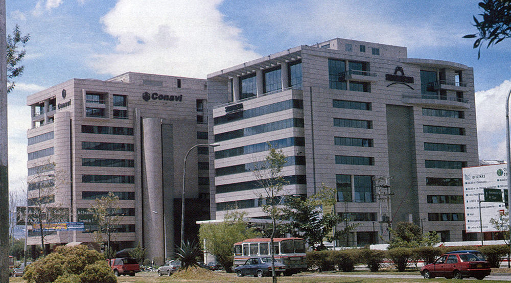
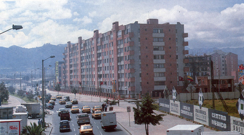
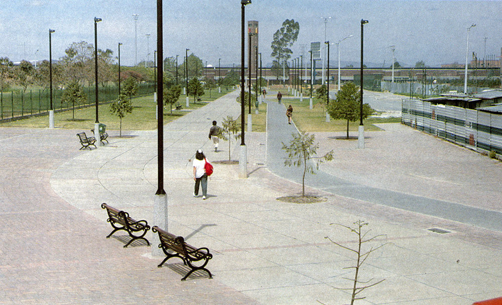
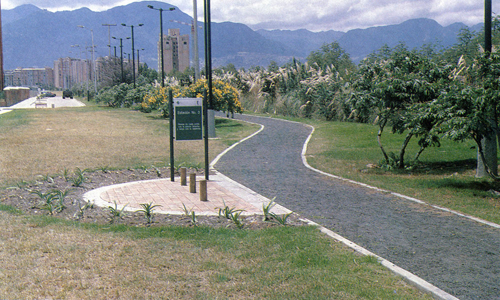
Photography: Germán Moreno Galindo.

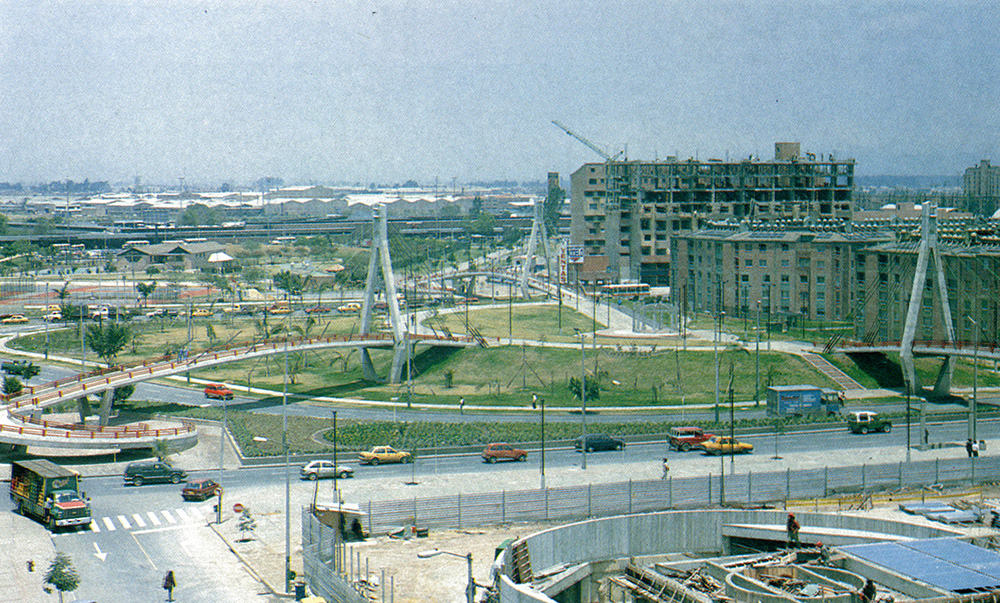
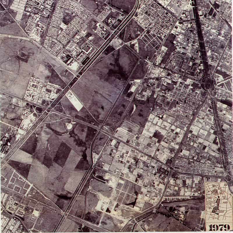
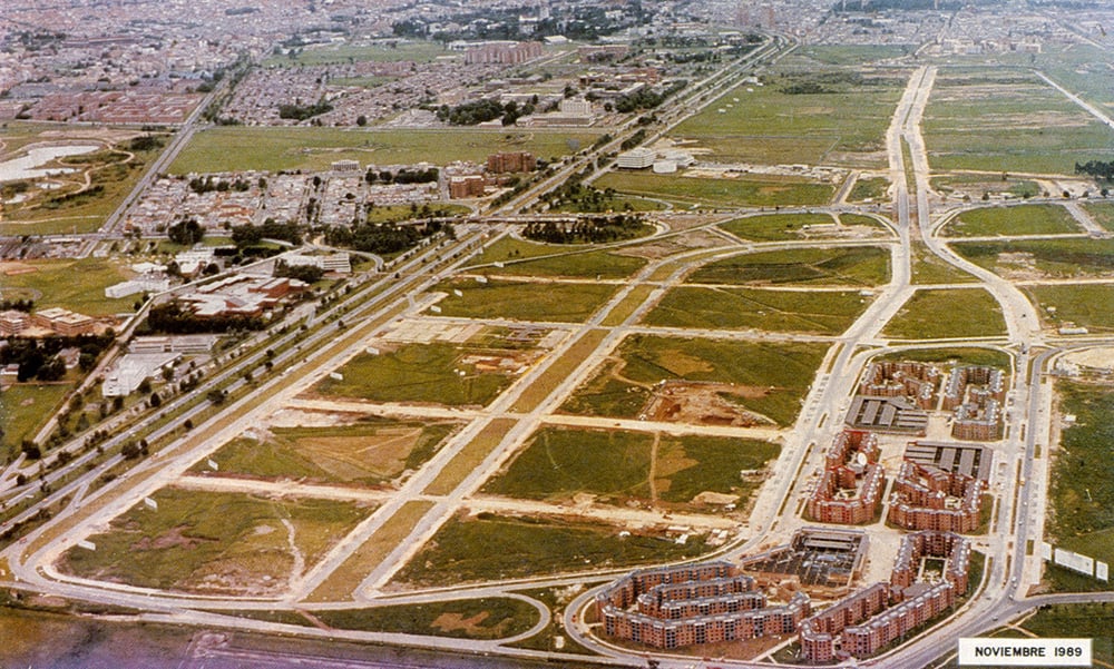
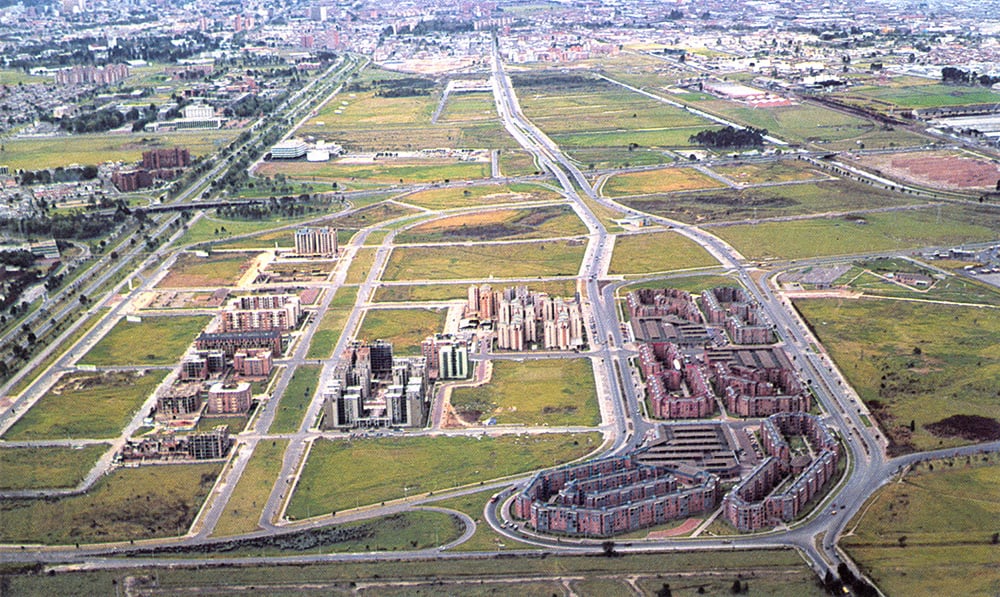
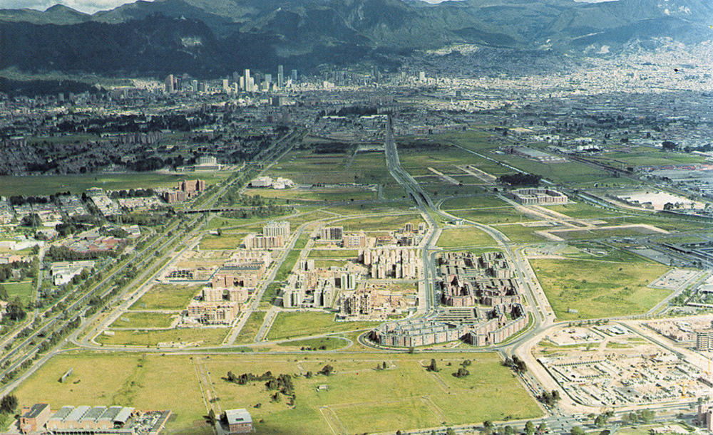
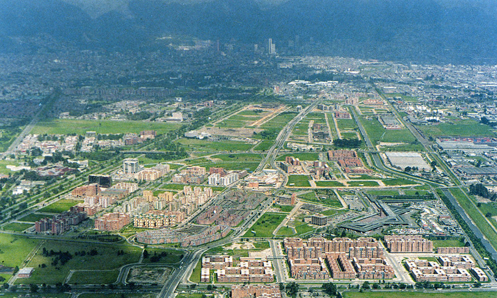
Aerial Photography: Foto Rudolf Ltda.

Following the principle of decentralization, a city within a city was conceived for Bogotá, which, possessing all the necessary qualities to function independently, also helps to tie the greater existing city surrounding it. The city´s most important urbanistic undertaking of the time used large terrains that formerly belonged to the Hacienda Salitre, located halfway between the international airport and the capital´s historic city center, at that moment the geographical center of Bogotá. 2.400.000 square meters of urban development, 50% of which destined to public spaces, mostly green areas, are placed within a framework of urban infrastructure, made up of 49 kilometers of roads, 30 km of pedestrian walkways and 8 km of bicycle paths. The other 50% of the area, for private development distributed in generous plot sizes, is destined to housing, institutional and other uses. The plan relies on the idea that the city is ultimately shaped by its architecture. The project counted on an interdisciplinary team of professionals that measured and confirmed each decision on site. A rigorous urban structure was thus laid out, with a rhythmic placement of street furniture and trees. Now consolidated as a main metropolitan axis, the project has become a renowned example for large scale urban interventions.

Other Projects